Virtual walk through the valley
Kolpa River – from the source to Croatia
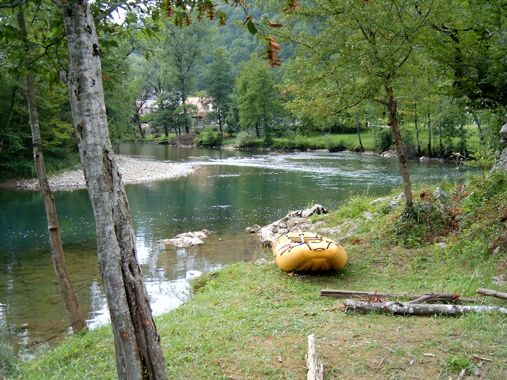
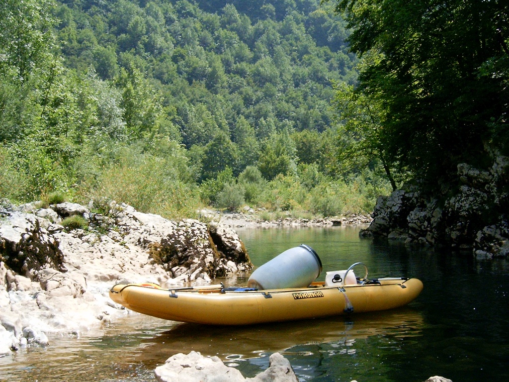
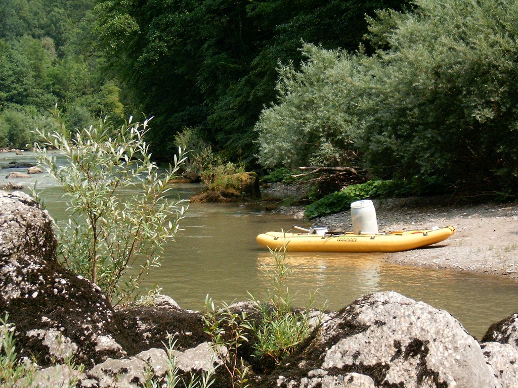
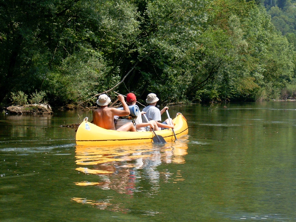
The Kolpa River springs in Croatia below Risnjak, in a strong karst spring almost 80 metres deep. It winds its way through canyons and eventually joins the Sava River at Sisak on a quiet plain. It is the 292 km long border river between Slovenia and Croatia: 113 km of the national border run along its course. It also divides Europe from the Balkan Peninsula. The Kolpa River widens and flows gently and lazily in some places, while in others it makes its way wildly through a narrow gorge (canyon).
Kolpa River in Bela krajina
In Bela krajina, the Kolpa River initially has a trough-like course with banks up to 100 m high, then the banks drop to 20 m; at Griblje, the river floods towards Metlika as it flows through a Quaternary plain. Finally, the Kolpa River again cuts a trough-like course through the southern Žumberak foothills eastwards towards the Croatian Ozalj at an altitude of 126 m above sea level. Almost all of the area is karst, except in the Čabranka and Kostel basins, with Permian feldspars and sandstones.
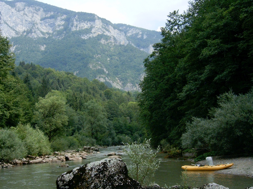
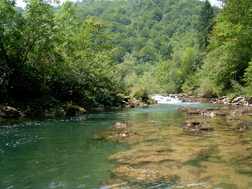
A view of the surrounding cliffs in the upper course of the Kolpa valley
At the junction of the river valley with the more recent Triassic dolomite, Jurassic and Cretaceous limestone, there are many strong karst springs on both sides of the river, as it is fed by underground rivers flowing from:
- Snežnik
- Risnjak
- Gorski Kotar
- Kočevska Reka
- the Rinža River
- the southern part of Kočevski Rog and the entire Bela krajina
- the Lahinja river basin
- and, of course, from the Croatian hills on the right bank of the Kolpa River
The deep incision of the river is the result of the strong Alpine-Dinaric uplift, since the Kolpa River has been part of the Pannonian Sea basin since the Pliocene.
Despite the karst nature of the entire area of Risnjak and Gorski Kotar on one side, and Velika Gora, Stojna and Goteniška gora on the other, the Kolpa River has been deeply incised and preserved superficially among the high karst hills, not least due to the Čabranka island of Permian impermeable rocks.
Only where the limestones have been exposed by tectonic uplift, or where the river has cut so deeply into the bedrock that it has cut into the Permian rocks, a normal hydrographic network has developed.
Bela krajina is a shallow karst and a larger flattening (the Ozalj-Slunj plate), a remnant of the old flattening along the former Pannonian Sea.
The largest surface tributary from the Slovenian side is the Lahinja, which has also been preserved superficially in the middle of the Karst due to an island of impermeable layers south of Črnomelj (near Kanižarica).
- The source of the Kolpa River
- Kostel – natural amphitheatre of the Kolpa Valley
- Upper Kolpa Canyon – the most beautiful and picturesque part of the Kolpa Valley
- Central Kolpa Canyon – a real river canyon
- Lower Kolpa Canyon
- Bela krajina upper bed of the Kolpa River
- Bela krajina lower bed of the Kolpa River
- The plain course of the Kolpa River
- Valley of Božakovo